| Published in Tourist Info / Highways |
Bundesautobahn 92, Germany
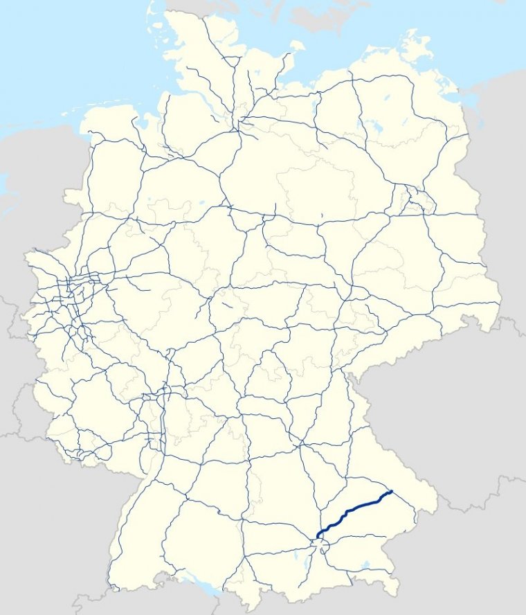
Map of Bundesautobahn 92, Germany. ![]()
The Bundesautobahn 92 (Federal Motorway 92, short form Autobahn 92, abbreviated as BAB 92 or A 92) connects Munich with Deggendorf, and is 134 kilometres (83 miles) long. Between the interchange Neufahrn and the interchange Munich Airport it has three lanes, otherwise two with a shoulder. There is a traffic control system in the direction of Deggendorf until right before the exit to the airport.
The A 92 essentially follows the lower Isar so that it passes Freising, Moosburg, Landshut, Dingolfing, Landau, Plattling and Deggendorf. Currently it is the most important connection between Munich and the East Central European countries like Czech Republic, Slovakia and Hungary. After completion of A 94 (Munich–Passau) a part of the traffic load for eastern Europe will shift towards that Autobahn.
The 60-kilometre (37-mile) stretch of the A 92 between Landshut and Plattling has a very low traffic density. This is also the reason that the A 92 is used in part as a test stretch by the BMW factory in Dingolfing. One notes that among other things the road surface is better in the vicinity of Dingolfing.
There are no filling stations or rest areas in the conventional sense (i.e. those that have their own exit) on the A 92. As a consequence, smaller gasoline station booths have developed into rest areas at many of the exits.
Length: 134 km (83 mi)
States: Bavaria
Source
• www.wikipedia.org
YOU MAY ALSO LIKE


 If you own or manage a travel-related business such as a hotel, a bed-and-breakfast, a restaurant, a pub or a cafeteria, you can create a web page for your business for free on Titi Tudorancea Travel Info. » |