| Published in Tourist Info / Highways |
Bundesautobahn 8, Germany
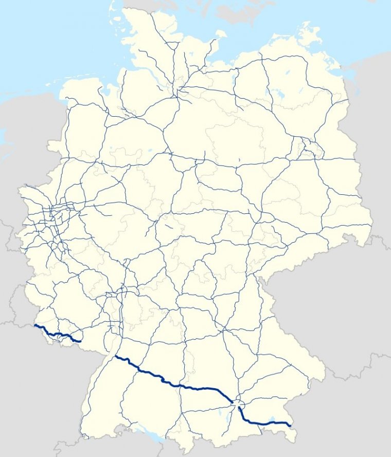
Map of Bundesautobahn 8, Germany. ![]() [
[
Bundesautobahn 8 (Federal Motorway 8, short form Autobahn 8, abbreviated as BAB 8 or A 8) is an autobahn in southern Germany that runs 497 km (309 mi) from the Luxembourg A13 motorway at Schengen via Neunkirchen, Pirmasens, Karlsruhe, Stuttgart, Ulm, Augsburg and Munich to the Austrian West Autobahn near Salzburg.
The A 8 is a significant East-West transit route. Although most parts have been modernized and extended since, significant sections remain in their original configuration from the 1930s - 2+2 lanes, no emergency lanes, steep hills and tight curves.
In combination with today's traffic this makes the A 8 one of the most crowded and dangerous autobahns in Germany.
Especially in the wintertime the slopes of the Black Forest, the Swabian Alb near Aichelberg, as well as the Irschenberg become bottlenecks when heavy trucks crawl uphill.
Length: 497 km (309 mi)
Junctions
From Luxembourg A13 motorway
To Austrian West Autobahn near Salzburg
States: Saarland, Rhineland-Palatinate, Baden-Württemberg, Bavaria
Source
• www.wikipedia.org
YOU MAY ALSO LIKE


 If you own or manage a travel-related business such as a hotel, a bed-and-breakfast, a restaurant, a pub or a cafeteria, you can create a web page for your business for free on Titi Tudorancea Travel Info. » |