| Published in Tourist Info / Highways |
Bundesautobahn 6, Germany
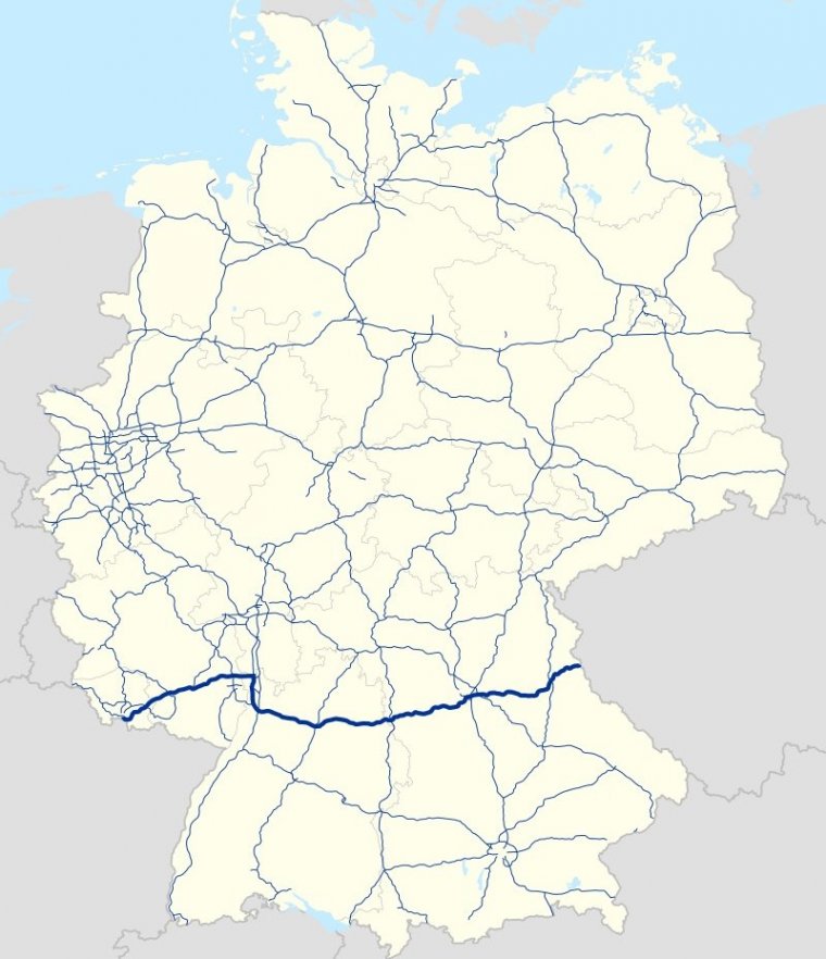
Map of Bundesautobahn 6, Germany. ![]()
Bundesautobahn 6 (Federal Motorway 6, short form Autobahn 6, abbreviated as BAB 6 or A 6), also known as Via Carolina (between Nuremberg and the Czech border continuing to Prague) is a 477 km (296.4 mi) long German autobahn.
It starts at the French border near Saarbrücken in the west and ends at the Czech border near Waidhaus in the east.
Much like its southern counterpart, the A 8, the A 6 is relatively old and has received little upgrading, making it difficult for it to handle today's traffic.
The section around Mannheim is currently being widened and modernised from a four-lane to a six-lane motorway requiring the construction of a new bridge over the River Neckar.
About the Kocher Viaduct (Kochertalbrücke) near Schwäbisch Hall, the Autobahn 6 crosses the Kocher valley between Heilbronn and Nuremberg. With its maximum height of 185 m (607 ft) above the valley bottom, it is the highest viaduct in Germany.
Length: 477 km (296 mi)
Junctions
West end: French border near Saarbrücken
East end: Czech border near Waidhaus
States: Saarland, Rhineland-Palatinate, Hesse, Baden-Württemberg, Bavaria
Source
• www.wikipedia.org
YOU MAY ALSO LIKE


 If you own or manage a travel-related business such as a hotel, a bed-and-breakfast, a restaurant, a pub or a cafeteria, you can create a web page for your business for free on Titi Tudorancea Travel Info. » |