| Published in Tourist Info / Highways |
Bundesautobahn 49, Germany
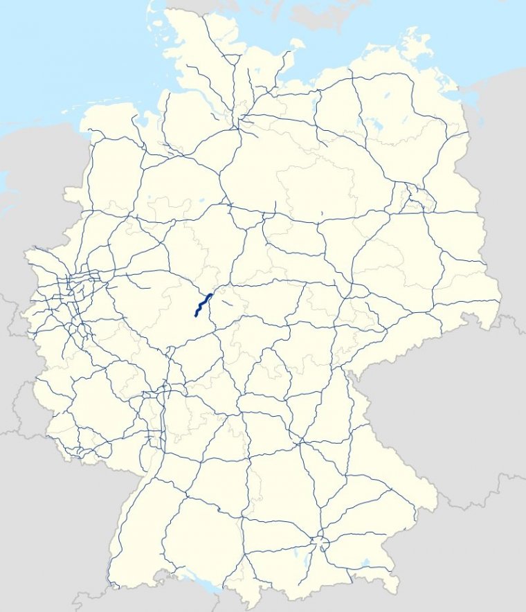
Map of Bundesautobahn 49, Germany. ![]()
Bundesautobahn 49 (Federal Motorway 49, short form Autobahn 49, abbreviated as BAB 49 or A 49) is a federal motorway running through north Hesse. It connects Kassel with the Schwalm-Eder-Kreis, where it ends in Neuental. The motorway is planned to be extended to Gemünden (Felda) with a connection to A 5.
A 49 splits off from A 7 at Kreuz Kassel-Mitte and continues as a city motorway through Kassel to Baunatal over the river Fulda. It then continues through the communities of Edermünde, Gudensberg, Fritzlar, Wabern, Borken and Neuental in the Schwalm-Eder region. Along this stretch, there are motorway viaducts over the Ems, Eder and Schwalm rivers, the latter being bridged over twice.
At its current end in Neuental, the A 49 flows into state road 3074. As this road is not designed to handle motorway traffic, the 8.5 kilometer-long stretch between Borken and Neuental is prohibited for heavy traffic.
Length: 45 km (49 mi)
States: Hesse
Source
• www.wikipedia.org
YOU MAY ALSO LIKE


 If you own or manage a travel-related business such as a hotel, a bed-and-breakfast, a restaurant, a pub or a cafeteria, you can create a web page for your business for free on Titi Tudorancea Travel Info. » |