| Published in Tourist Info / Highways |
Bundesautobahn 44, Germany
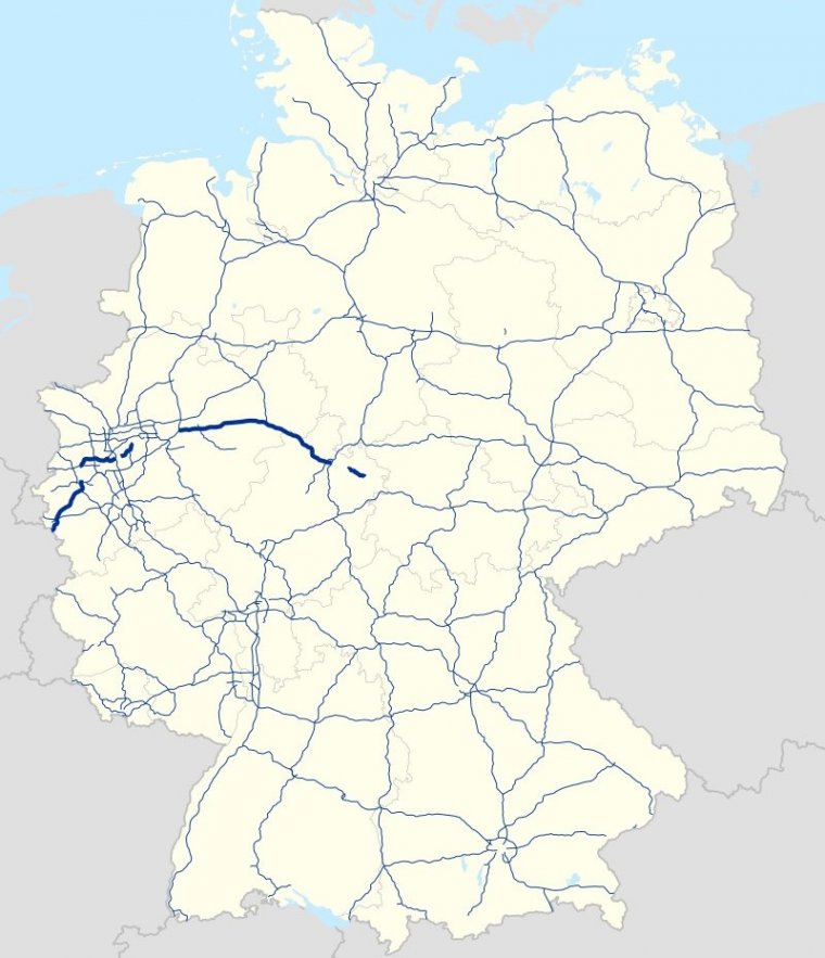
Map of Bundesautobahn 44, Germany. ![]()
Bundesautobahn 44 (Federal Motorway 44, short form Autobahn 44, abbreviated as BAB 44 or A 44) is a German Autobahn. It consists of three main parts and a few smaller parts. It begins in Aachen at the German–Belgian border and ends near Kassel.
Before the German unification it was an unimportant provincial motorway but after this event it became an integral part of the German highway system.
The A 44 is a highly frequented link between the Rhine-Ruhr-Area and the new German states, especially Thuringia, and by proxy, eastern European states like Poland and Ukraine.
The Lichtenbusch-interchange Aachen section is part of the European route E 40. Between interchange Dortmund-Unna and interchange Kassel-Süd (Kassel south) the A 44 is part of the European route E 331.
Length: 274.6 km (170.6 mi)
States: North Rhine-Westphalia, Hesse, (planned Thuringia)
Source
• www.wikipedia.org
YOU MAY ALSO LIKE


 If you own or manage a travel-related business such as a hotel, a bed-and-breakfast, a restaurant, a pub or a cafeteria, you can create a web page for your business for free on Titi Tudorancea Travel Info. » |