| Published in Tourist Info / Highways |
Bundesautobahn 42, Germany

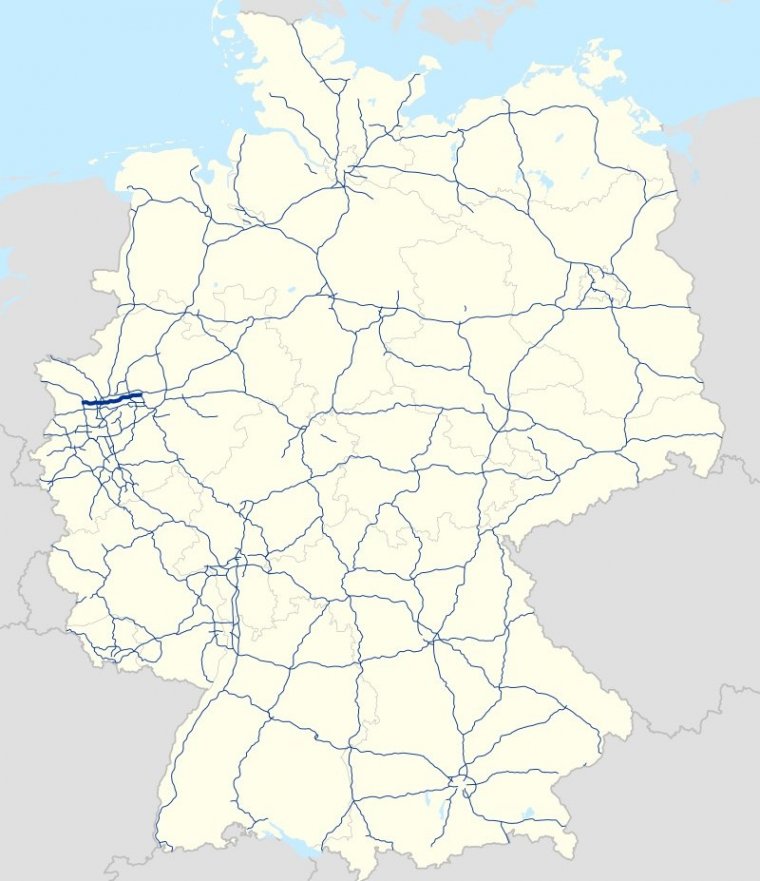
Map of Bundesautobahn 42, Germany. ![]()
Bundesautobahn 42 (Federal Motorway 42, short form Autobahn 42, abbreviated as BAB 42 or A 42) is an autobahn in western Germany.
It connects Kamp-Lintfort with Castrop-Rauxel, linking several large cities in the Ruhr area, such as Dortmund, Duisburg, the North of Essen and Gelsenkirchen.
It is colloquially known as Emscherschnellweg, after the river Emscher, which it roughly follows. Construction went underway in the 1970s and 1980s.
Length: 58 km (36 mi)
Junctions
West end: A 57/B 528 in Kamp-Lintfort
East end: A 45 in Castrop-Rauxel
States: North Rhine-Westphalia
Source
• www.wikipedia.org
YOU MAY ALSO LIKE
 If you own or manage a travel-related business such as a hotel, a bed-and-breakfast, a restaurant, a pub or a cafeteria, you can create a web page for your business for free on Titi Tudorancea Travel Info. » |


