| Published in Tourist Info / Highways |
Bundesautobahn 40, Germany

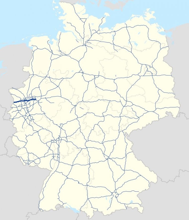
Map of Bundesautobahn 40, Germany. ![]()
Bundesautobahn 40 (Federal Motorway 40, short form Autobahn 40, abbreviated as BAB 40 or A 40), (named A 430 until the early 1990s) is one of the most used Autobahns in Germany.
It crosses the Dutch-German border as a continuation of the Dutch A67 and crosses the Rhine, leads through the Ruhr valley toward Bochum, becoming B1 (Bundesstraße 1) at the Kreuz Dortmund West and eventually merging into the A 44 near Holzwickede.
It has officially been named Ruhrschnellweg (Ruhr Fast Way), but locals usually call it Ruhrschleichweg (Ruhr Crawling Way) or "the Ruhr area's longest parking lot". It is the most congested motorway in Germany.
In the city of Essen, a Stadtbahn service operates on the median of the A 40 between Tunnel Ruhrschnellweg and Mülheim-Heißen. Between the Essen-Huttrop and the Essen-Kray junctions, there is a guided bus system called Spurbus.
Length: 94 km (58 mi)
Junctions
West end: Straelen A67 border with Netherlands
East end: B 1 in Dortmund
States: North Rhine-Westphalia
Source
• www.wikipedia.org
YOU MAY ALSO LIKE
 If you own or manage a travel-related business such as a hotel, a bed-and-breakfast, a restaurant, a pub or a cafeteria, you can create a web page for your business for free on Titi Tudorancea Travel Info. » |

