| Published in Tourist Info / Highways |
Bundesautobahn 2, Germany

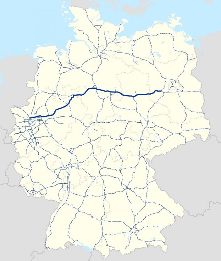
Map of Bundesautobahn 2, Germany. ![]()
Bundesautobahn 2 (translates from German as Federal Motorway 2, short form Autobahn 2, abbreviated as BAB 2 or A 2) is an autobahn in Germany that connects the Ruhr area in the west to Berlin in the east.
The A 2 starts at the junction with the A3 near the western city of Oberhausen, passes through the north of the Ruhr valley, through the Münsterland and into Ostwestfalen, crossing the former inner German border and continuing through the Magdeburger Börde to merge into the Berliner Ring shortly before reaching Berlin.
Major cities such as Magdeburg, Braunschweig, Hannover and Dortmund are situated very close to the A 2.
The A 2 is one of the most important autobahns, connecting several large industrial areas with each other.
The A 2 was modified in the late 1990s, and completely rebuilt in the former East Germany. All of the A 2 has 3 travel lanes and a breakdown lane in each direction.
Due to its importance as a major thoroughfare for commercial transit and as a trade route connecting the western parts of Germany to neighbouring Central European countries such as Poland, it is often nicknamed Warsaw Avenue or simply Poland Highway.
Length: 486 km (302 mi)
Junctions
West end: Oberhausen
East end: Berlin
States: North Rhine-Westphalia, Lower Saxony, Saxony-Anhalt, Brandenburg
Source
• www.wikipedia.org
YOU MAY ALSO LIKE
 If you own or manage a travel-related business such as a hotel, a bed-and-breakfast, a restaurant, a pub or a cafeteria, you can create a web page for your business for free on Titi Tudorancea Travel Info. » |
