| Published in Tourist Info / Highways |
Bundesautobahn 20, Germany
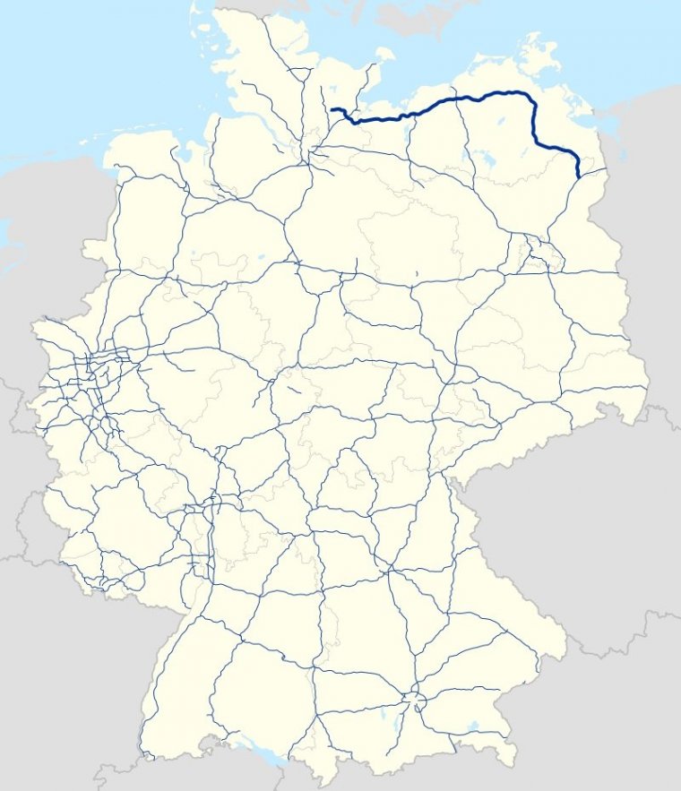
Map of Bundesautobahn 20, Germany. ![]()
Bundesautobahn 20 (Federal Motorway 20, short form Autobahn 20, abbreviated as BAB 20 or A 20) is an autobahn in Germany. It is colloquially known as Ostseeautobahn (Baltic Freeway) or Küstenautobahn (Coastal Freeway) due to its geographic location near the Baltic Sea coastline.
The road is not built along a straight line, instead it is built near important cities (Wismar, Rostock, Stralsund), to make it more beneficial for travel between these cities, and also to serve as bypass.
North of Hamburg the A 20 will have a unique function, namely the connection of the highways A 1, A 21, A 7 and A 23, but it will also function as a northern bypass of the city-region of Hamburg which will take traffic going from France and the Benelux countries to Denmark and Sweden away from Hamburg.
Length: 279 km (173 mi)
States: Schleswig-Holstein, Mecklenburg-Vorpommern, Brandenburg
Source
• www.wikipedia.org
YOU MAY ALSO LIKE


 If you own or manage a travel-related business such as a hotel, a bed-and-breakfast, a restaurant, a pub or a cafeteria, you can create a web page for your business for free on Titi Tudorancea Travel Info. » |