| Published in Tourist Info / Highways |
Bundesautobahn 17, Germany
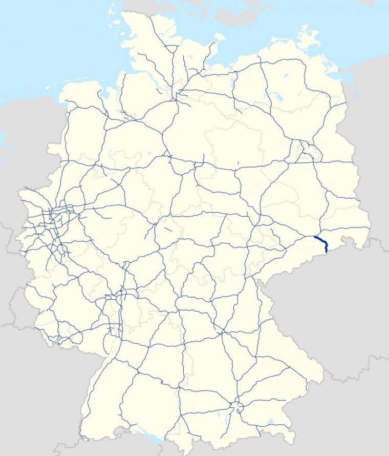
Map of Bundesautobahn 17, Germany. ![]()
Bundesautobahn 17 (Federal Motorway 17, short form Autobahn 17, abbreviated as BAB 17 or A 17) is an autobahn in Saxony, south-eastern Germany. It links Dresden to the Czech border where the D8 continues to Prague. Construction began in 1998, and connects to the Prague (Czech Republic). The road is a fairly new contribution to the German autobahn-system, with its first stretch opened in 2001 and the last in 2006.
The A 17 is one of three autobahns that have one of their end points at the Bundesautobahn 4 near Dresden. The other two are the Bundesautobahn 13 at the northern Dresden autobahn triangle (Dresden – Berlin) and the Bundesautobahn 14 at the Nossen autobahn triangle (Dresden – Leipzig).
The A 17 begins at the western Dresden autobahn triangle, generally follows the edge of the city to the south, passing the towns of Heidenau and Pirna until it reaches the border between Germany and the Czech Republic at the Ore Mountains, where it ends. From there the D8 continues to Prague.
Although the A 17 is only 45 km long, it has quite a lot of larger bridges and tunnels compared to other German autobahns. These are:
• The landscape tunnel, Tunnel Altfranken is located in the amount of Dresden-Altfranken. There, the motorway leads under the castle park ("Luckner Park") along. The biotope connection was built between 2000 and 2004 in open construction. At a length of 345 m, the underpass has two tubes with two lanes in the east and three in the west.
• The Dölzschener Tunnel consists of two tubes and passes under the Dresdner district Dölzschen on 1070 m length. As it rises slightly to the west, the northern lane is three-lane, but has no hard shoulder. The tunnel was built in mining propulsion according to the "New Austrian Tunneling Method".
• The Coschützer Tunnel is the longest tunnel on the A 17 and passes under the Dresden district of Coschütz. The two tubes of the tunnel with two lanes each and a hard shoulder are 2332 m long. He too was built according to the "New Austrian Tunneling Method". The Coschütz tunnel is connected to the Dölzschen tunnel via the Weißeritztal bridge in Plauenschen Grund.
• The Lockwitztalbrücke is the longest bridge on the A 17 and the tallest bridge on the A 17. It is 723 meters long and spans the valley floor up to 64 meters above sea level on the southern outskirts of Dresden. The bridge has spans of up to 125 meters and is characterized by a new type of construction with bow-shaped inclined struts made of reinforced concrete. Thus it was achieved that out of consideration for a fauna-flora habitat in the valley the number of pillars could be limited to eight. In addition, the bridge has a curve radius of 2500 meters; the center of the district lies north of the bridge. It was completed in December 2005.
• The Seidewitzalbrücke spans the valley of the same name near Pirna over a length of 568 meters. With a span of 154 meters, it is the largest arched bridge in Saxony and has a height of up to 55 meters above ground. The massive arch in parabolic shape was erected in the guyed freestanding construction. The bridge was completed in 2006.
• The border crossing of the Highway 17 to the Czech Republic was called Breitenau-Krásný Les / Schönwald. It was located about 4.7 km from the actual border on the German side at Börnersdorf-Breitenau and was from the outset very simply equipped, as the construction was already foreseeable that the identity checks by the accession of the Czech Republic to the Schengen Agreement on 21 December 2007 - exactly one year after the opening of the border crossing - would be eliminated.
The site of the border crossing was then converted into a parking lot. In addition, a German-Czech police center was opened in Petrovice / Peterswald.
• In the immediate vicinity of the border is the 282-meter-long (925 ft) Nasenbachtalbrücke, directly adjoining the 300-meter-long (980 ft) landscape tunnel Harthe. The directly following, 412 meters long border bridge over the Schönwalder Bach was built by the Czech Republic and crosses the German-Czech border.
The road on the Czech side on the slope of the 723-meter-high (2,372 ft) Špičák (saddle mountain) reaches the highest point of the motorway connection at about 650 meters above sea level. Shortly after the start of the tunnel Panenská a few meters beyond the junction Petrovice also the Erzgebirge ridge water divide, a subordinate watershed between the catchment areas of the rivers opening in Bohemia and Saxony in the Elbe, under.
The designation of A 17 was originally given to a post-reunification Autobahn corridor planned to run from the A 4 near Bautzen to the Polish border at Zittau (actually very close to the German-Polish-Czech tripoint). Planning for this incarnation of the A 17 was shelved in the 1990s before any fixed route for this Autobahn was established, and the designation was given instead to the southernmost section (then being planned) of the A 13.
Length: 44.75 km (27.81 mi)
Junctions
North end: Dresden
South end: Czech border
States: Saxony
Source
• www.wikipedia.org
YOU MAY ALSO LIKE


 If you own or manage a travel-related business such as a hotel, a bed-and-breakfast, a restaurant, a pub or a cafeteria, you can create a web page for your business for free on Titi Tudorancea Travel Info. » |