| Published in Tourist Info / Highways |
Autovía A-40, Autovía de Castilla-La Mancha, Spain
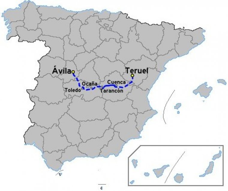
Map of Autovía A-40, Spain. ![]()
The Autovía A-40 is a gradual upgrade of the N-400 a highway in Castile, Spain. The road runs from Toledo to Cuenca.
After junction 73 of Autovía A-42 the road as N-400 heads east along the south bank of the Rio Tajo. At Aranjuez it crosses the Autovía A-4 and Autovía R-4. It follows the A-4 before branching east after Ocaña. At Tarancón the road crosses the Autovía A-3 before heading east into the Sierra de Altomira and a bridge over the Canal de Trasvase Tajo Segura.
The new AVE line from Madrid to Alicante and Valencia is to the south of the road. The road is Autovía grade as it passes through the Altos de Cabrejas and over the Puerto de Cabrejas (1,150m) before reaching Cuenca and junctions with the N-320, N-420.
Length: 89 km (55 mi)
Junctions
From Ávila
To Teruel
Source
• www.wikipedia.org
YOU MAY ALSO LIKE

 If you own or manage a travel-related business such as a hotel, a bed-and-breakfast, a restaurant, a pub or a cafeteria, you can create a web page for your business for free on Titi Tudorancea Travel Info. » |