| Published in Tourist Info / Highways |
Autostrada A91, Italy
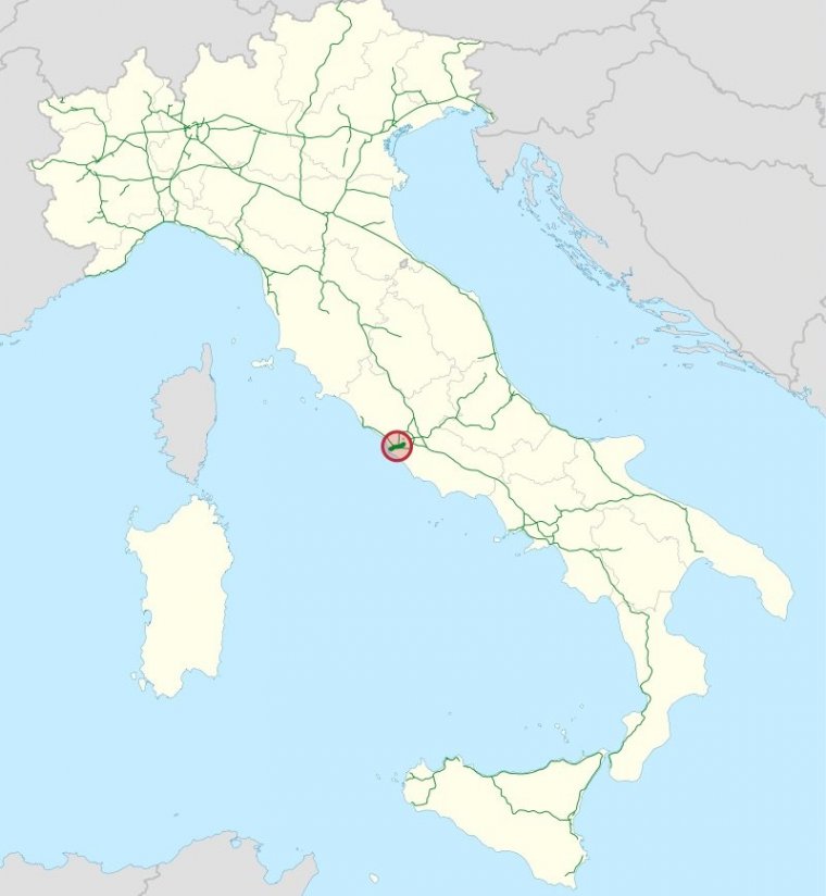
Map of Autostrada A91, Italy. ![]()
The Autostrada A91 is an Italian motorway which connects Rome to the Fiumicino Airport. The official "A91" name was assigned in the early 2000s. On many road signs on the route, the marker still shows the letter A without the number.
The highway is 18.5 km (11.5 miles) long, in which 11.9 km (7.4 miles) of it is from the airport to the Grande Raccordo Anulare junction. The highway is mainly a straight path, except for a curvilinear stretch that follows the Tiber bend and three wide curves along the viaduct of the Magliana, which is the last stretch in Rome.
Length: 18.5 km (11.5 mi)
Junctions
From Roma
To Fiumicino Airport
Regions: Lazio
Source
• www.wikipedia.org
YOU MAY ALSO LIKE


 If you own or manage a travel-related business such as a hotel, a bed-and-breakfast, a restaurant, a pub or a cafeteria, you can create a web page for your business for free on Titi Tudorancea Travel Info. » |