| Published in Tourist Info / Highways |
Autostrada A6, La Verdemare, Italy
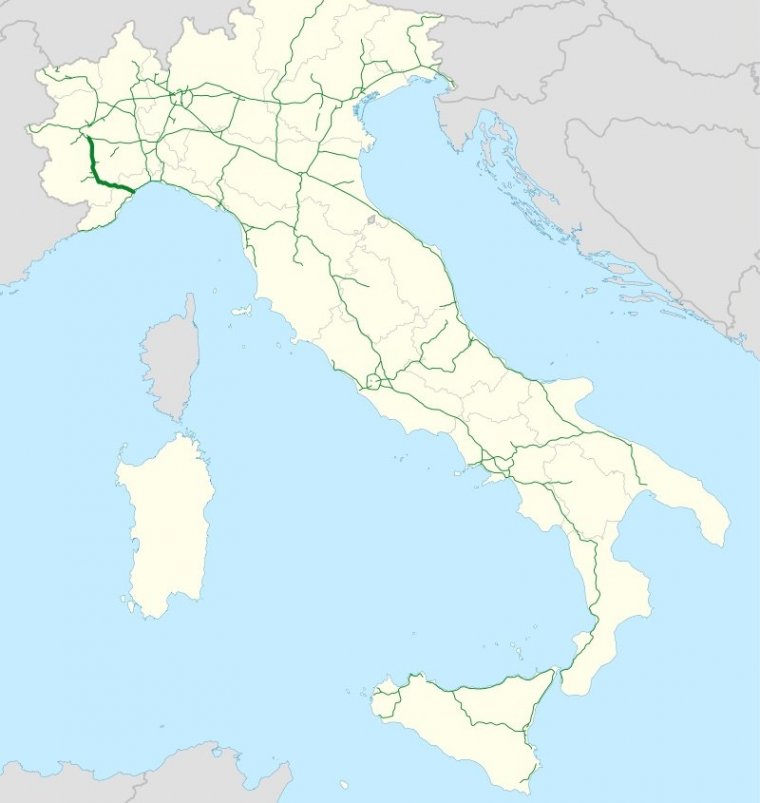
Map of Autostrada A6, Italy. ![]()
The Autostrada A6 is an Italian motorway opened in 1960 which connects Turin, the southernmost area of Piedmont, especially the Cuneo province, to the west coast of Liguria and the city of Savona. Its construction finished in 2001, when it was completely overhauled into a two-road motorway.
Since 2001, the A6, known as "La Verdemare", has safety regulations similar to main Italian roadways. The system develops through landscapes and open territories, such as the border between Piedmont and Liguria, most notably the Savona – Altare Apennine stretch.
The A6 also passes the Colle di Cadibona at 435m, a watershed between the Ligurian Apennines and the Po Valley in 14 km with an uninterrupted route of tunnels and viaducts and, exclusive to Italy, a helical curve in the south roadway.
The A6 is also connected to the new Autostrada A33 Asti – Cuneo. The Asti East tollgate of the A21 Torino – Piacenza – Brescia will take you through Alba to the tollgate of the A6.
The entire route coincides with the European road E717 and, at the junction for Fossano, branches off to a link that leads to the SS28.
In two sections of each roadway, the average speed is monitored by the Tutor system, implemented between the Carmagnola and Marene stations (both roadways), near Priero (north roadway only), and Quiliano (south roadway only). The effectiveness of the system in the Carmagnola – Marene section is considered limited due to the presence of the Rio Coloré Service Area in the section.
Length: 124.3 km (77.2 mi)
Regions: Piedmont, Liguria.
Junctions
From Turin
To Savona
Source
• www.wikipedia.org
YOU MAY ALSO LIKE


 If you own or manage a travel-related business such as a hotel, a bed-and-breakfast, a restaurant, a pub or a cafeteria, you can create a web page for your business for free on Titi Tudorancea Travel Info. » |