| Published in Tourist Info / Highways |
Autostrada A14, Autostrada Adriatica, Italy
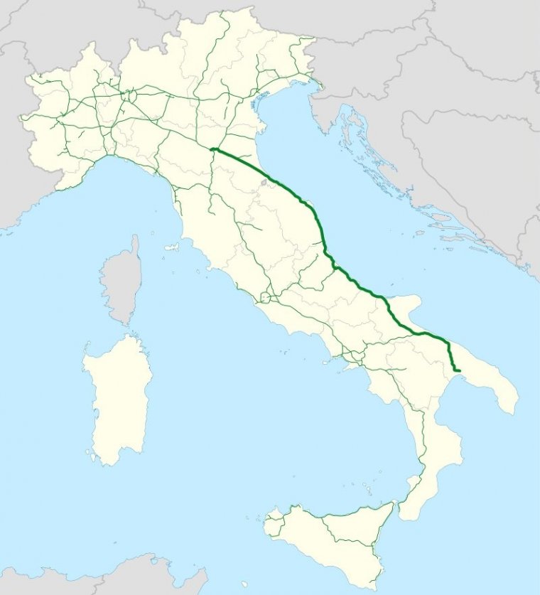
The Autostrada "Adriatic" A14, is the second-longest italian highway. It connects Bologna to Taranto, boarding the adriatic coast and unifying historical local roads.
Inaugurated in 1965, it passes through or near Rimini, Riccione, Cesenatico, Cattolica, Pesaro, Ancona, Civitanova, San Benedetto del Tronto, Pescara, Vasto, Termoli, Foggia and Bari.
Length: 743.4 km (461.9 mi)
Regions: Emilia-Romagna, Marche, Abruzzo, Molise, Apulia
Junctions
North end Bologna
South end Taranto
Source
• www.wikipedia.org
YOU MAY ALSO LIKE
 If you own or manage a travel-related business such as a hotel, a bed-and-breakfast, a restaurant, a pub or a cafeteria, you can create a web page for your business for free on Titi Tudorancea Travel Info. » |


