| Published in Tourist Info / Highways |
Autostrada A10, Autostrada dei Fiori, Italy
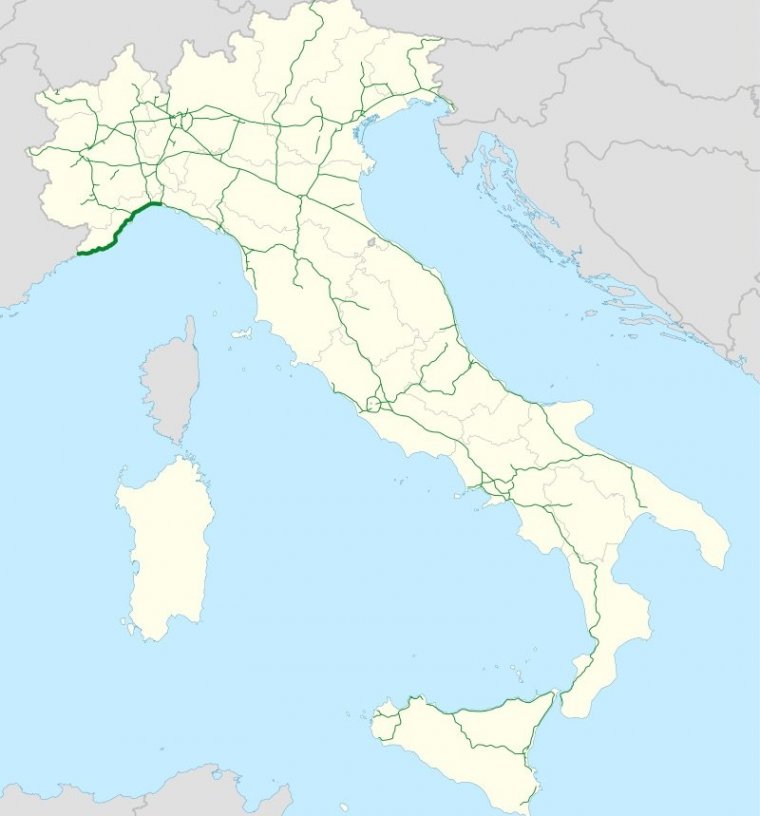
Map of Autostrada A10, Italy. ![]()
The Autostrada A10, also known as the Fiori Autostrada or the AutoFiori ("fiori" meaning "flowers" in Italian), is an Italian motorway, passing through Liguria and connecting Genoa with Ventimiglia. It connects to the French A8 autoroute, which finishes in Aix-en-Provence, and forms part of European route E80. It is 158.7 kilometres long.
The route is currently run by two companies: from Genoa to Savona, by the company Autostrade Italy SpA, and from Savona to the border by Autostrada dei Fiori SpA. It has 22 entrances, and includes eight service stations.
Much of the route is built on hillside, with a series of viaducts and tunnels; for this reason, the entire motorway requires paying a toll charge (one of the most expensive in Italy). Past Savona, the motorway visits Albenga, Imperia, San Remo, and Ventimiglia: six kilometres from Ventimiglia, it reaches the border with France.
Until the nineties, the border was marked by a change of stripe colour, from yellow to white, alongside a sign in the tunnel indicating the precise location of the border—this is now gone, although its former location can still be discerned from a change of lighting systems, and the different thicknesses of asphalt.
In the opposite direction, the A10 intersects with the A6, towards Turin, the A26, towards the Po Valley, Switzerland, and other major cities in the north of Italy, before finally joining the A7, towards Milan and Tuscany.
Length: 158.1 km (98.2 mi)
Regions: Liguria
Junctions
From Genoa
To Ventimiglia
Source
• www.wikipedia.org
YOU MAY ALSO LIKE


 If you own or manage a travel-related business such as a hotel, a bed-and-breakfast, a restaurant, a pub or a cafeteria, you can create a web page for your business for free on Titi Tudorancea Travel Info. » |