| Published in Tourist Info / Highways |
A9 motorway, Circular Regional Exterior de Lisboa, Portugal
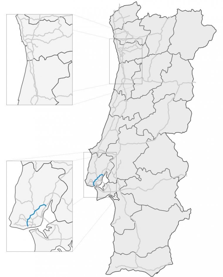
The A9 (CREL / Lisbon Regional Outer Circular) is a Portuguese motorway which, as the name indicates, forms a partial outer circular route beyond the north and western parts of the Lisbon conurbation. It thereby links the Estoril coastal area with principal highways towards the north of the country.
The road begins near to the National Stadium of Jamor and sets off in an approximately east-north-easterly direction, intersecting along the way with major regional roads ( IC19, A16, IC22 ) as well as two national motorways, the A8 and the A10. It passes Queluz in the edge of Sintra, then through the Amadora, Odivelas and Loures municipalities before ending after 35 kilometres (22 mi) at an intersection with the country's principal northbound highway, the A1.
Despite running for its entire length within 20 kilometres (12 mi) of central Lisbon, much of the route of the A9 is semi-urban or rural, incorporating mountainous regions that necessitated the inclusion of 15 viaducts and two substantial tunnels in its construction. It therefore is a very hilly road, with several tight turns along its way.
Length: 35 km (22 mi)
Route: Caxias (National Stadium) – Queluz – Loures – Alverca
Junctions
North-east end: Alverca
South-west end: Jamor (National Stadium)
Source
• www.wikipedia.org
YOU MAY ALSO LIKE
 If you own or manage a travel-related business such as a hotel, a bed-and-breakfast, a restaurant, a pub or a cafeteria, you can create a web page for your business for free on Titi Tudorancea Travel Info. » |
