| Published in Tourist Info / Highways |
A6 motorway, Rijksweg 6, Netherlands

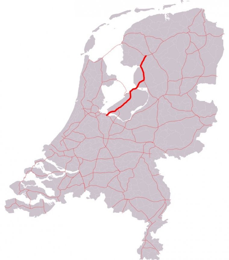
Map of A6 motorway, Netherlands. ![]()
The A6 motorway is a motorway in the Netherlands. It is just over 100 kilometers in length and it connects the A1 motorway at interchange Muiderberg with the A7 motorway at interchange Joure.
Just after its start at interchange Muiderberg and the first exit, the A6 motorway crosses the bridge Hollandsebrug. Next, it passes the city of Almere, which has a total of six exits and an interchange (interchange Almere to the A27 motorway).
Further to the northeast, just after Lelystad, the road crosses the Ketelbrug bridge to the Noordoostpolder and connects to highway N50 at the interchange Emmeloord.
After this interchange, the road goes north to the city of Joure, where it connects to the A7 motorway at the roundabout-like interchange Joure.
The A6 motorway, of which the largest part is located in the province of Flevoland, is the shortest route between the city of Amsterdam and most parts of the northern provinces of Friesland and Groningen.
Length: 102.557 km (63.726 mi)
Junctions
North end: E 22/A7 southeast of Joure
South end: E 231/A1 south of Muiderberg
Source
• www.wikipedia.org
YOU MAY ALSO LIKE
 If you own or manage a travel-related business such as a hotel, a bed-and-breakfast, a restaurant, a pub or a cafeteria, you can create a web page for your business for free on Titi Tudorancea Travel Info. » |


