| Published in Tourist Info / Highways |
A67 motorway, Rijksweg 67, Netherlands

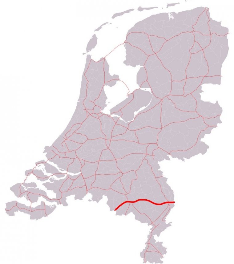
Map of A67 motorway, Netherlands. ![]()
The A67 motorway is a motorway in the Netherlands. It is located in the Dutch provinces of North Brabant and Limburg.
The road is approximately 78 kilometer in length. The A67 motorway connects the Belgian border (A21/E34 road) near Hapert with Eindhoven and the German border (A40 road) near Venlo. Along the entire stretch of the motorway, the European route E34 travels along the A67.
Besides, the section near Eindhoven, between interchanges De Hogt and Leenderheide, is shared with the A2 motorway and European route E25.
Length: 77.881 km (48.393 mi)
Junctions
West end: Hapert A21 border with Belgium
East end: Venlo A 40 border with Germany
Provinces: North Brabant, Limburg
Source
• www.wikipedia.org
YOU MAY ALSO LIKE
 If you own or manage a travel-related business such as a hotel, a bed-and-breakfast, a restaurant, a pub or a cafeteria, you can create a web page for your business for free on Titi Tudorancea Travel Info. » |