| Published in Tourist Info / Highways |
A50 motorway, Rijksweg 50, Netherlands
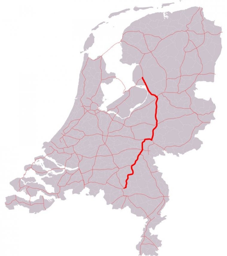
Map of A50 motorway, Netherlands. ![]()
A50, the section of Rijksweg 50 that is constructed as controlled-access highway, is a north–south motorway in the Netherlands, running from Eindhoven in the province of North Brabant, northwards passing by the cities of Oss, Nijmegen, Arnhem and Apeldoorn, to its northern terminus in the province of Gelderland near the city of Zwolle.
It passes the cities of Eindhoven, Den Bosch, Oss, Nijmegen, Arnhem, Apeldoorn and Zwolle.
Length: 159.591 km (99.165 mi)
Junctions
South end: E 25 / A2 in Eindhoven
A59 near Oss
A326 near Wijchen
E 31 / A73 / N322 near Beuningen
E 31 / A15 near Elst
A12 in Arnhem
E 30 / A1 in Apeldoorn
North end: E 232 / A28 / N50 in Hattem
Provinces: North Brabant, Gelderland
Source
• www.wikipedia.org
YOU MAY ALSO LIKE
 If you own or manage a travel-related business such as a hotel, a bed-and-breakfast, a restaurant, a pub or a cafeteria, you can create a web page for your business for free on Titi Tudorancea Travel Info. » |