| Published in Tourist Info / Highways |
A4 motorway, Auto-estrada de Trás-os-Montes e Alto Douro, Portugal
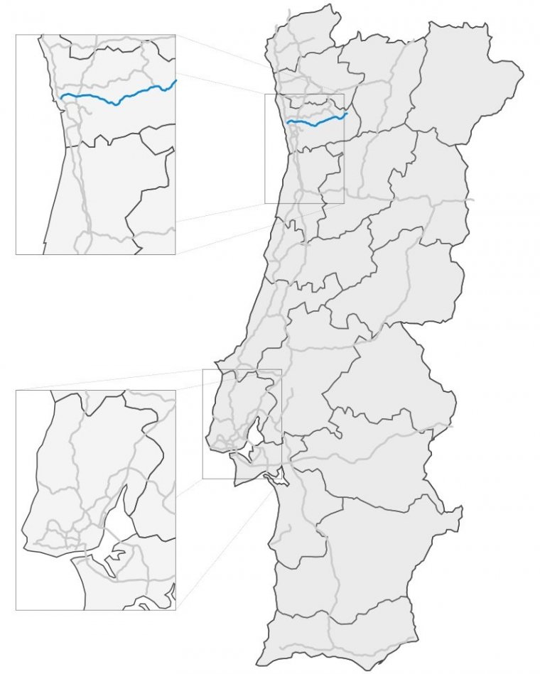
Map of A4 motorway, Portugal. ![]()
The A4 is a Portuguese motorway with a length of 63 kilometres (39 miles), running from Matosinhos to Amarante, where it narrows to become an IP road, signed as IP4.
The motorway leaves the metropolitan area of Porto, through the urban areas of Ermesinde, Valongo, Paredes, Penafiel, until arriving at the mountainous town of Amarante.
It is also known as one of the most dangerous motorways in the country, particularly the descent from Campo to Valongo. Many improvements are being projected by the government in this respect.
Currently the highway has been extended into Bragança and the border with Spain, which opened in 2013, from through the Serra do Marão. The extension will also include a bridge reaching a height above ground of 230 metres (750 feet).
Once extended the A4 will become Portugal's third-longest motorway, with a length of 223 km (139 mi).
On 7 May 2016, the Marão Tunnel was opened to traffic. The Túnel do Marão is Portugal's longest road tunnel, 5.6 km (3.5 mi) long.
Length: 223 km (139 mi)
Route: Porto – Penafiel – Amarante – Vila Real – Mirandela – Bragança – Quintanilha
Junctions
West end: Matosinhos (Porto)
East end: Amarante
Source
• www.wikipedia.org
YOU MAY ALSO LIKE


 If you own or manage a travel-related business such as a hotel, a bed-and-breakfast, a restaurant, a pub or a cafeteria, you can create a web page for your business for free on Titi Tudorancea Travel Info. » |