| Published in Tourist Info / Highways |
A3 autoroute, France
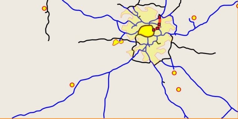
Map of French A3 motorway. ![]()
The A3 Autoroute is a French autoroute located entirely within the départment of Seine-Saint-Denis, serving Montreuil-sous-Bois, Rosny-sous-Bois, and Bondy. Its southern terminus is an interchange with the Boulevard Périphérique at the Porte de Bagnolet, and its northern terminus is an interchange with the A1 near Le Bourget Airport.
The A3 is 15 km long, and forms a part of European Route E15. A brief segment of its length is a concurrency with the A86. Two spur routes branch off from the A3: the A103 Autoroute and the A186 Autoroute. The first section of the roadway opened in 1969 between the Porte de Bagnolet and Bondy.
Length: 15 km (9 mi)
Speed limit: France has the following speed limits for limited access roads classified as motorways:
• Under normal conditions - 130 km/h (80 mph)
• In rain or wet road conditions - 110 km/h (70 mph)
• In heavy fog or snowy/icy conditions - 50 km/h (30 mph)
Limited access roads classified as express roads have lower speed limit (90 or 110 km/h, 55 or 70 mph).
In normal conditions, there is a minimum speed of 80 km/h (50 mph) in the lane most left (no minimum speed on the others' right lanes, but speed should be adapted for each situation: not too slow).
Junctions
The motorway links to the following additional motorways and major roads:
— South end: Paris (Porte de Bagnolet)
— A 86 near Rosny-sous-Bois
— North end: A 1 near Le Bourget Airport
Source
• www.wikipedia.org
YOU MAY ALSO LIKE

 If you own or manage a travel-related business such as a hotel, a bed-and-breakfast, a restaurant, a pub or a cafeteria, you can create a web page for your business for free on Titi Tudorancea Travel Info. » |