| Published in Tourist Info / Highways |
A20 motorway, Rijksweg 20, Netherlands

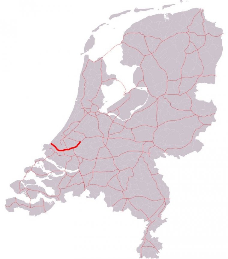
Map of A20 motorway, Netherlands. ![]()
The A20 motorway is a motorway in the Netherlands. It is approximately 39 kilometers in length.
The A20 is entirely located in the Dutch province South Holland and connects the N213 road from the Westland municipality with the cities of Rotterdam and Gouda, where it connects to the A12 motorway at the interchange Gouwe.
The section near Rotterdam, between the interchanges with the A4 and A16 motorways, is the northern part of the so-called Ring Rotterdam, the beltway around the city.
On a part of this section, the maximum speed is reduced to 80 km/h, which is being enforced by speed cameras calculating the average speed of a vehicle on the stretch between the cameras.
From the first exit, exit 6 (Maasdijk), the European route E25 follows the A20 motorway all the way to its terminus at interchange Gouwe.
Besides, the European route E19 follows the A20 along the 6 kilometers short stretch between interchanges Kleinpolderplein and Terbregseplein, just north of Rotterdam.
Length: 38.862 km (24.148 mi)
Junctions
West end: N223 – Naaldwijk
East end: A12 (Interchange Gouwe)
Provinces: South Holland
Source
• www.wikipedia.org
YOU MAY ALSO LIKE
 If you own or manage a travel-related business such as a hotel, a bed-and-breakfast, a restaurant, a pub or a cafeteria, you can create a web page for your business for free on Titi Tudorancea Travel Info. » |
