| Published in Tourist Info / Highways |
A1 motorway, Auto-estrada do Norte, Portugal
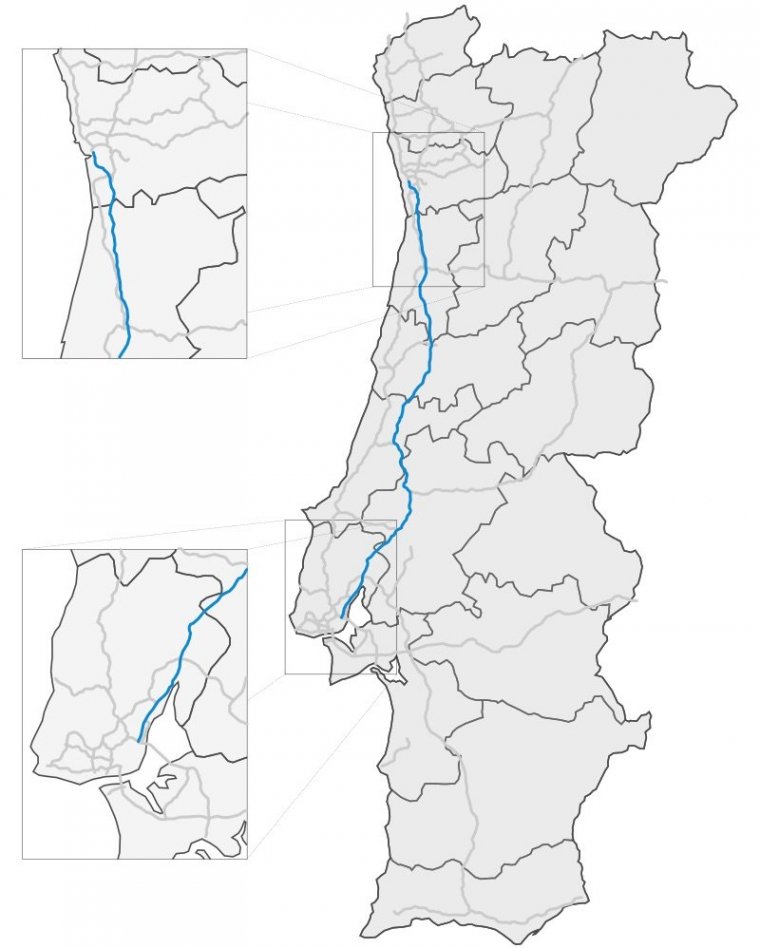
Map of Highway A1, Portugal. ![]()
The A 1 - Autoestrada do Norte - is the biggest and the most important highway in the whole Portugal. It connects the two largest cities in Portugal, Lisbon and Porto, also passing by some district capitals and industrial zones.
Being the most important connection between two major cities, it was designed to be parallel to other roads, like the EN1.
With an extension of 303 km, this highway starts in Lisbon, in the interchange between the CRIL and the Vasco da Gama Bridge. Then the road goes along some cities near Lisbon, mainly Alverca do Ribatejo and Alenquer.
Near Torres Novas it connects with the A23, a road that connects the A1 with Castelo Branco and Vilar Formoso, by the A25, near the border with Spain. This interchange marks the end of the 2x3 profile that started in Lisbon, to start a profile of 2 lanes.
The highway is owned by Brisa. A trip between Lisbon and Porto using the A1 costs 21,60 euro.
Length: 303 km (188 mi)
Route: Lisbon – Santarém – Leiria – Coimbra – Aveiro – Porto
Junctions
South end: Lisbon
North end: Porto
Source
• www.wikipedia.org
YOU MAY ALSO LIKE

 If you own or manage a travel-related business such as a hotel, a bed-and-breakfast, a restaurant, a pub or a cafeteria, you can create a web page for your business for free on Titi Tudorancea Travel Info. » |