| Published in Tourist Info / Highways |
A13 motorway, Rijksweg 13, Netherlands

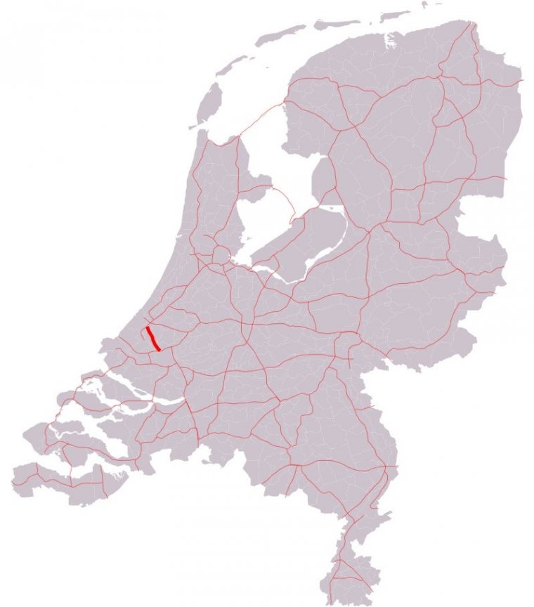
Map of A13 motorway, Netherlands. ![]()
The A13 motorway is a motorway in the Netherlands, connecting the cities of The Hague and Rotterdam. The Rotterdam The Hague Airport is located next to the A13.
The 17-kilometre-long (11 mi), highly congested motorway is the main motorway connection between these two cities. It is a dual carriageway with three lanes in each direction.
Between the junctions Berkel and Delft-Zuid managed motorway is effective, when certain intensities occur the hard shoulder is opened for traffic heading north. The maximum speed on the road is 100 km/h.
European route E19, the route between Amsterdam and Paris, follows the complete A13 motorway between the interchanges Ypenburg and Kleinpolderplein.
Length: 17 km (11 mi)
Junctions
North end: E 19 / E 30 / A4 in The Hague
N470 in Delft
N209 in Rotterdam
South end: E 19 / E 25 / A20 / S113 in Rotterdam
Provinces: South Holland
Source
• www.wikipedia.org
YOU MAY ALSO LIKE
 If you own or manage a travel-related business such as a hotel, a bed-and-breakfast, a restaurant, a pub or a cafeteria, you can create a web page for your business for free on Titi Tudorancea Travel Info. » |

