| Published in Tourist Info / Highways |
A10 motorway, Circular Regional Exterior de Lisboa, Portugal

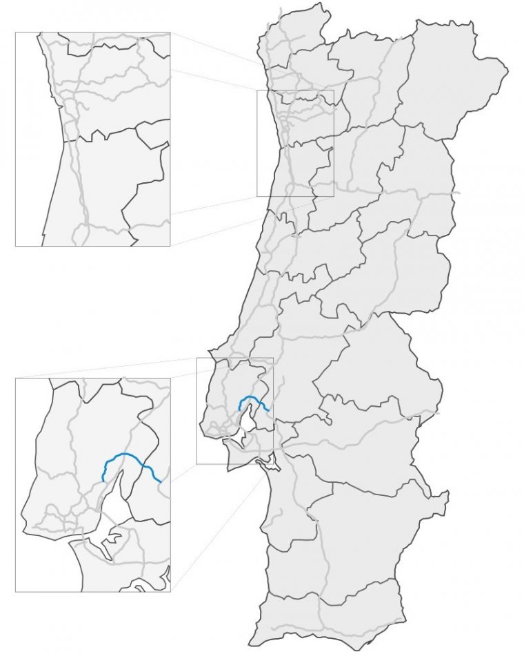
Map of A10 motorway, Portugal. ![]()
The A10 (Circular Regional Exterior de Lisboa) is a short Portuguese motorway to the north and north-east of Lisbon.
It provides a relatively direct connection between the A9 (Lisbon Regional Outer Circular) at the Junction 7 (Benavente), the A1 at Carregado and the A13 with which it links at Benavente.
The newest portion of the road, incorporating the Lezíria Bridge (Ponte da Lezíria) was opened in July 2007. The Ponte da Lezíria section comprises approximately 12 kilometers (8 miles) of bridges and viaducts across the lush marshland of the Ribatejo section of the Tagus estuary.
Together with the A13, the eastern portion of the A10 permits traffic traveling between the north and the south of Portugal to avoid both Lisbon and its conurbation, passing through primarily rural land to the east of the capital, thereby shortening the journey for drivers and reducing congestion in the urban zones.
Length: 39 km (24 mi)
Route: Bucelas – Arruda dos Vinhos – Carregado – Benavente
Junctions
North-east end: Benavente
South-west end: Arruda
Source
• www.wikipedia.org
YOU MAY ALSO LIKE
 If you own or manage a travel-related business such as a hotel, a bed-and-breakfast, a restaurant, a pub or a cafeteria, you can create a web page for your business for free on Titi Tudorancea Travel Info. » |